


Week in Review
Nephelonauts. Cloud travelers. Welcome to Clouds 1. Today, we shall cover that pesky and penumbral phenomenon known as Stratus. Also, I have just recently learned of the existence of a “mother-cloud”, from which other clouds grow. This shall be an area of future research (and will be defined below because it turns out to be super important).
A very fun nugget of information for you: according to the World Meteorological Organization, clouds are technically HYDROMETEORS. That’s right, water meteors hurtling through the troposphere with all the fury of Neptune. How cool is THAT??
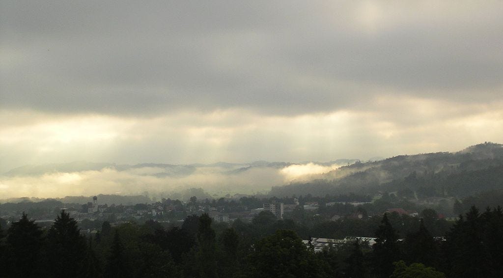
Before we get into the meat of this week’s cloud, I have included a week in review of cool clouds that I bore witness to! I am only one human, however, so if any of you have other cool photos of clouds, please send them my way at cumuloworld@gmail.com.
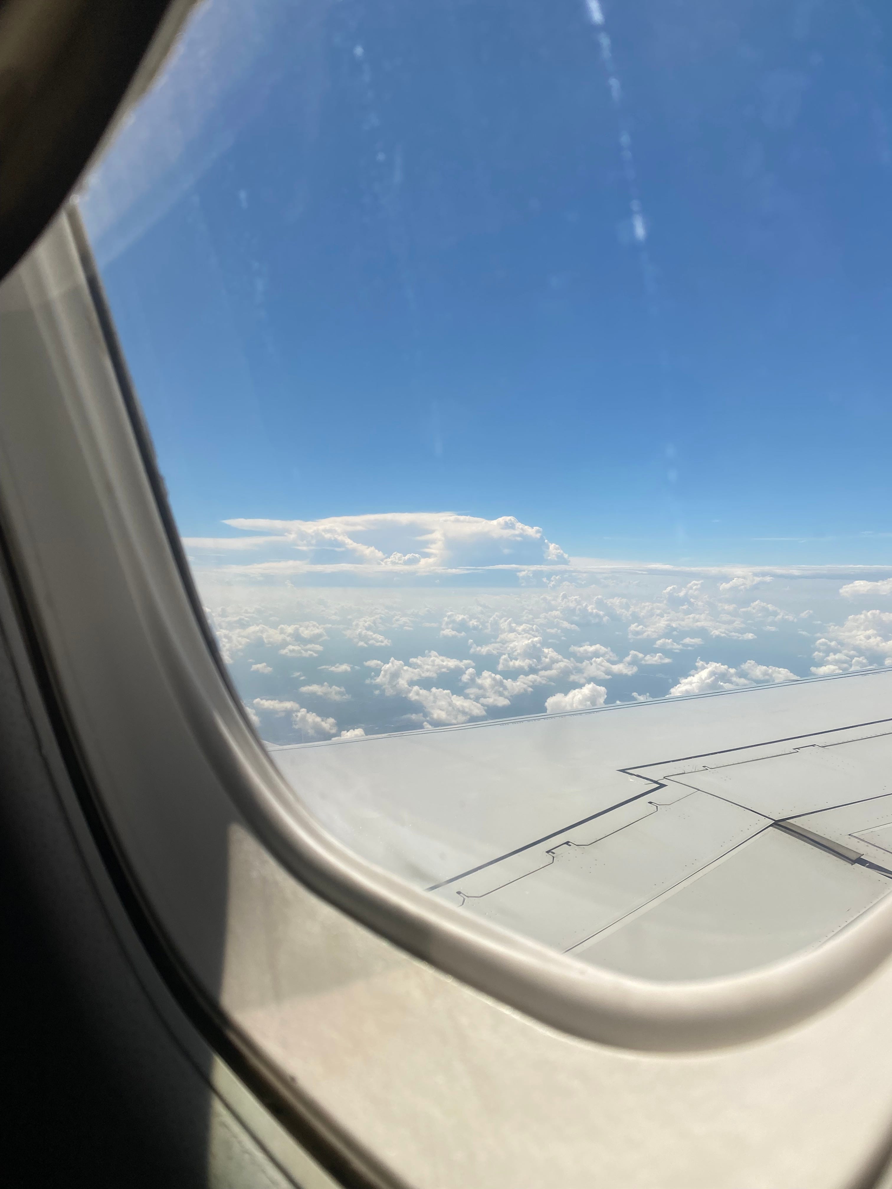

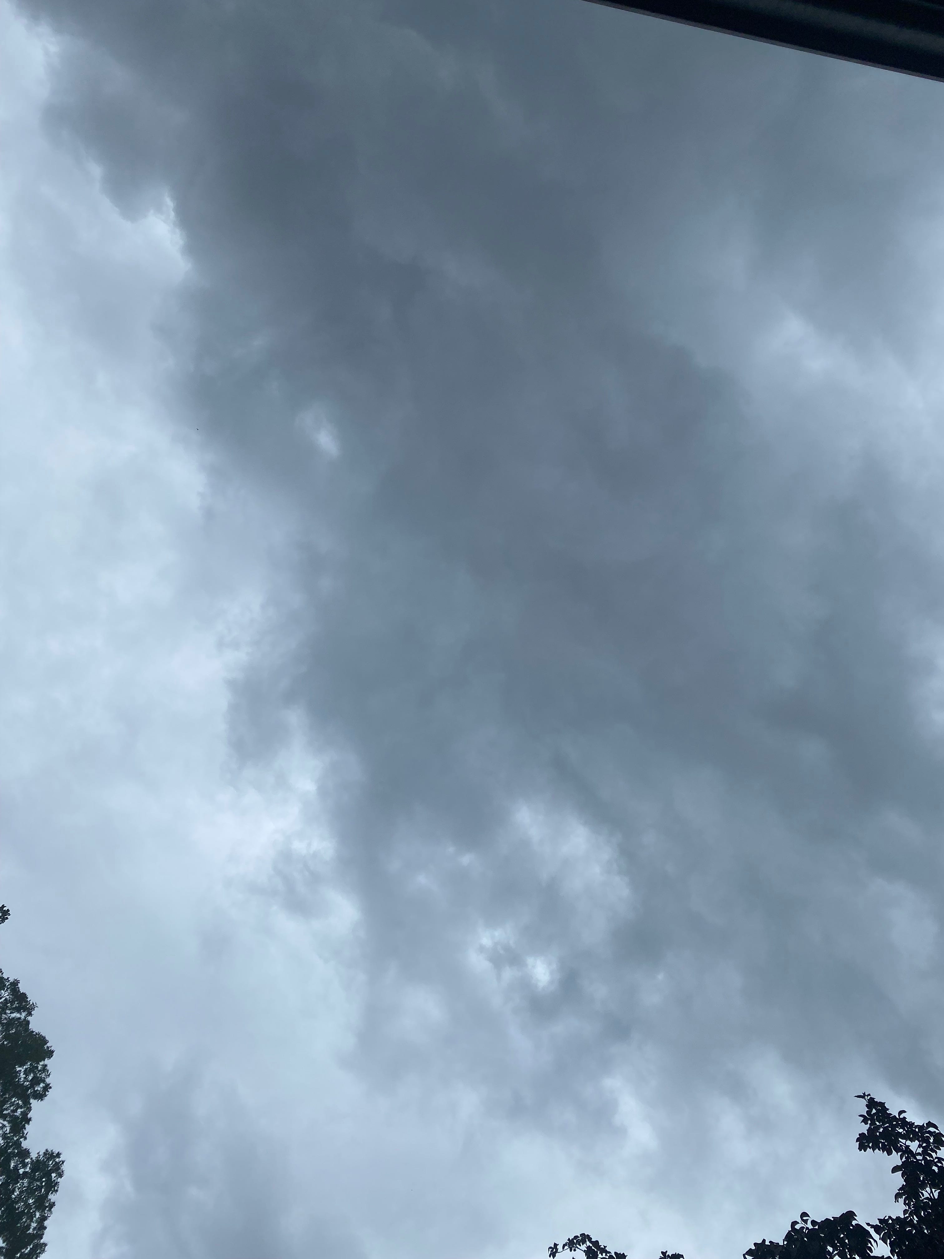
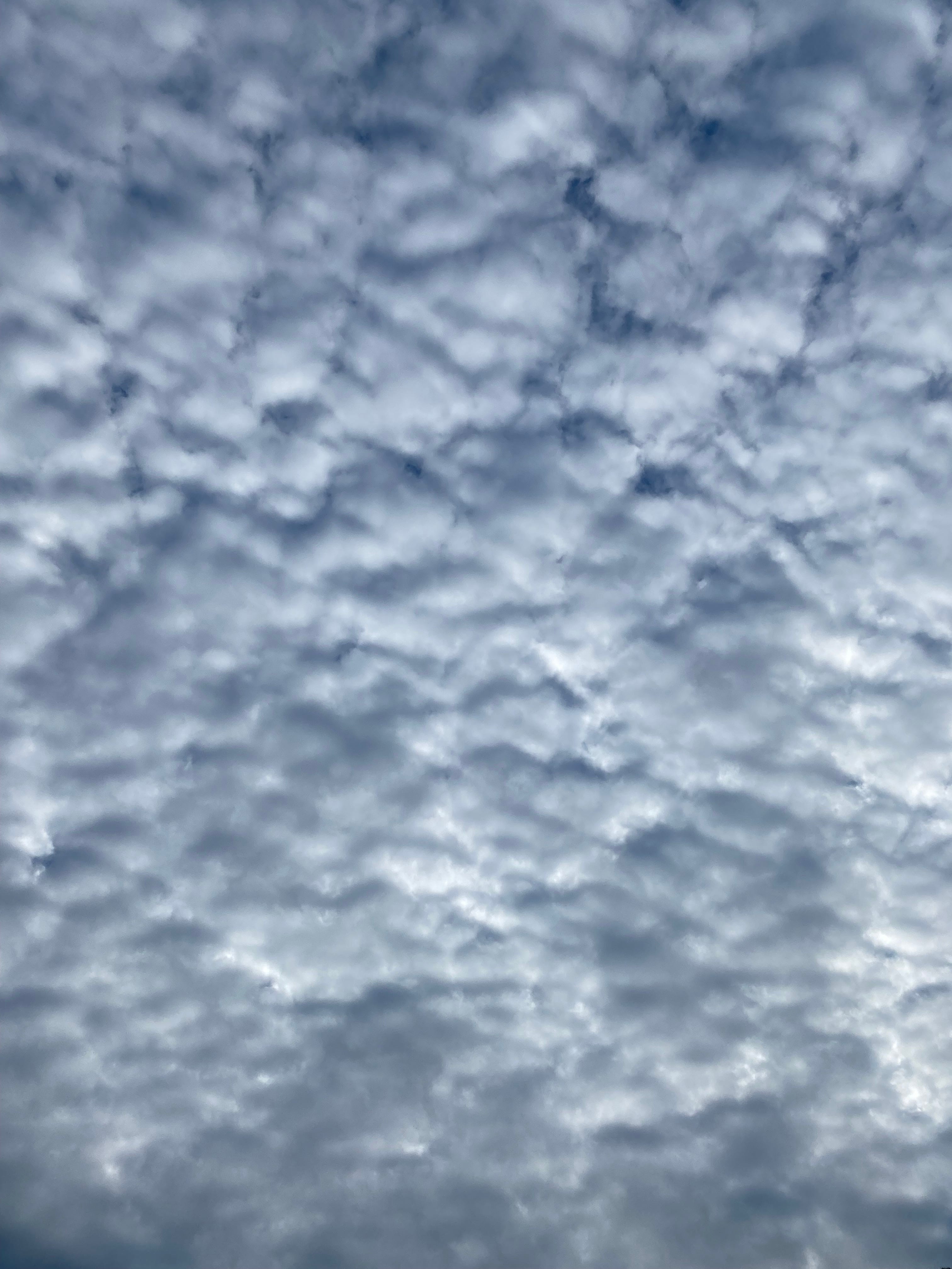
Shot on an iPhone. Can you tell?
The Stratus Cloud and Its Formation
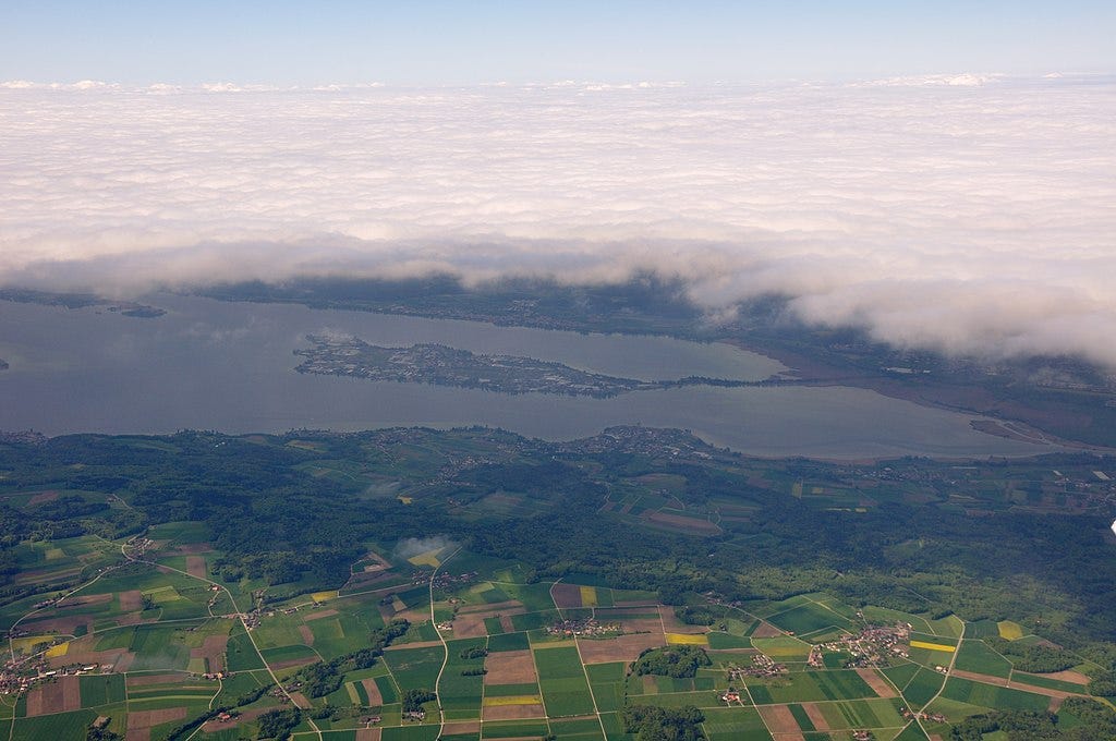
Thin, white sheets blanket the sky or land, spreading their featureless message across the troposphere. They are for the most part formless and are usually not threatening to humans. Occasionally, a more carnivorous variant of fog or mist is born, but this is a rare phenomenon.
The word stratus comes from the Latin verb sternere, meaning to extend, to spread out, to cover with a layer, or to flatten out. Stratus is the past participle of that verb, hence it literally translates to “layered” (Latin friends, feel free to correct my grammar, it has been a while since I translated any Latin).
These layers, when seen from above, do look like fog or mist (which, from what I can find, is why fog and mist can be lumped together with stratus). The multiple “layers” form an uneven contiguous surface that is textured from above and amorphous from below.
How do these clouds form? I have long wondered this myself. Maybe I should have covered this in the first post, Clouds 0. Ah well. No use crying over spoiled jam, as my dear grandmother used to say before she turned into a cloud, so we soldier on:
According to the internet, stratus clouds take shape when a blanket of warm humid air lifts off the ground, depressurizing as it follows the lapse rate. Relative humidity thus increases due to adiabatic cooling.
Ok. What does that even MEAN? First, let us define, briefly and with a very popular science bent, a few terms. The following is a summary of several Wikipedia articles, meteorological websites, and a 5th grade textbook on clouds. If any information is incorrect, please feel free to notify me in the comments.
Lapse Rate: The rate at which temperature in Earth’s atmosphere falls with altitude. Essentially, the higher up you go in the atmosphere, the colder the temperature. HOWEVER, there is something in meteorology called an inversion: this refers to an inversion of the lapse rate. Normally, cooler air sits above warmer air, but in an inversion, warmer air sits above cooler air. This will be important when we discuss other types of clouds.
Now, as air heats up from a confluence of thermal processes, it expands, lowering its density and thus causing hot air to rise, carrying internal energy spacewards in a process known as convection. In other words, hot air rises. That’s convection.
As hot air rises, it leaves behind a low-pressure zone on the ground, and air from the surrounding area is then sucked into that space. When the density between an air mass and the surrounding air is the same, the air mass ceases to rise and flows through the troposphere horizontally in a process known as advection. The air mass then cools until it descends (as it cools, density increases, and it becomes heavier) sinking through the surrounding air and, upon reaching the ground, creating a high-pressure zone.
Adiabatic Process: Convection ceases when air at a given altitude has the same density as the air that surrounds it. This usually occurs via an adiabatic process, a type of thermodynamic process that occurs without the transfer of heat or mass between a thermodynamic system (air) and its environment (also air).
This means that in adiabatic processes, energy is ONLY transferred to the environment as work. In the context of the atmosphere, this has significance in two concepts: adiabatic heating and adiabatic cooling. We are only concerned with adiabatic cooling, but since I’m a completionist, I’ve done my best to briefly outline the difference between the two for you:
Adiabatic Heating: This process occurs when the pressure of a gas increases as work is done on it from its surroundings, e.g. a piston compresses the gas in a cylinder. Atmospherically, this occurs when an air mass descends. Remember, this is usually a cooler, denser air mass falling through warmer, less dense air. As the air mass descends, pressure on it increases, as it bears the ‘weight’ of the (relatively) warmer air above it.
This has two effects: 1) the air mass’s volume decreases, and 2) its temperature increases as work is done upon the air mass. Think of this work as hot air pushing down on the cooler air mass as it descends. The end result may be seen in phenomena such as a katabatic or a Foehn wind.
Adiabatic Cooling: This process occurs when the pressure on a gas is reduced, allowing it to expand and doing work on its surroundings. As a hot air mass rises (convection, remember) the pressure on it from the air above it is reduced, and it expands, pushing against surrounding air.
The inverse effects thus occur: 1) the air mass’s volume increases, and 2) its temperature decreases as its internal energy dissipates from expansion as the air mass does work to its environment.
Relative Humidity: Almost done with the physics lesson, hang in there guys! Relative humidity is actually pretty simple compared to adiabatic processes: it is the ratio of water vapor in an air mass to the potential amount of water that the air mass could contain at a given temperature. As a rule of thumb, colder air holds less vapor, and warm air can hold more vapor. Relative humidity is usually expressed as a percentage, thus at 100% relative humidity, the air is considered saturated, also called the dew point.
Clouds form either as a result of this saturation (hot air, containing invisible water vapor, rises until it cools to its dew point, at which point a cloud forms) OR when an air mass becomes moisturized (most often from water vapor from an adjacent source, e.g. a body of water or a mother cloud) to the point where it is saturated.
Phew. That was a lot. Ok, now that we are all more informed (somewhat), let’s come up with a more digestible definition of stratus cloud formation:
Stratus clouds form when a ‘blanket air mass’ of warm and humid air rises. As it does so, the air mass depressurizes, cooling as energy is expended in the form of expansion (adiabatic cooling). The dew point thus decreases (i.e. relative humidity increases due to a decrease in temperature) and the air becomes saturated, resulting in cloud formation as water vapor condenses.
Recall from Clouds 0 that water vapor condenses around tiny particulate matter small enough to be held aloft by the normal circulation of the air. These particulate matter are known as cloud condensation nuclei or cloud seeds.
Variants
As with all clouds, there are numerous variants (which most literature refers to as sub “species”, a fact that I find hilarious). I have attempted to break these out as logically as I can when it comes to amorphous hungry masses that float through the sky and are occasionally carnivorous.
Where possible, I have provided photos, but these variants can get rather esoteric and obscure, so I beg forgiveness if photographic reference is unavailable.
Stratus Nebulosus
A low-level cloud, and the most dangerous, as it is completely without detail and even capable of ground contact. It has several subvariants:
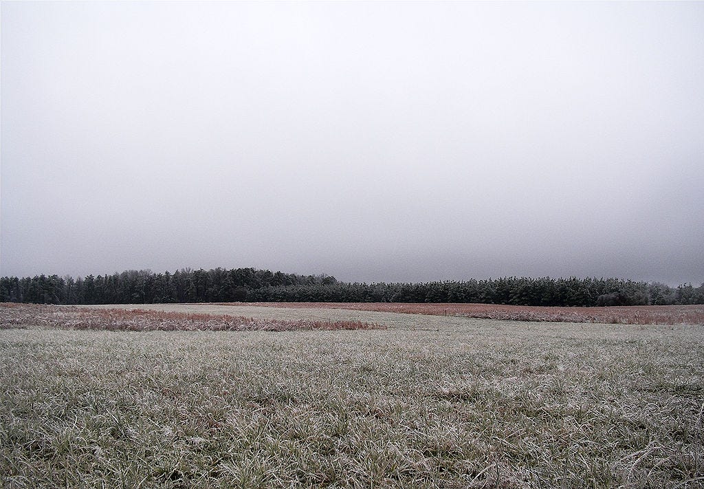
Stratus Opacus: Opaque stratus, these clouds are thick enough to block out the sun from view. You may have encountered it in the form of very thick fog, or perhaps on a winter’s day in the North country, when the sky is a sheet of slate gray.
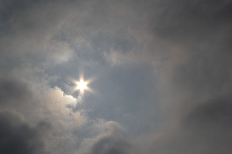
Stratus Translucidus: Translucent stratus, these clouds are weaker than the opaque variant, and would thus be worth slightly less experience if cloud hunting were to be made into a TTRPG. They differ from Opacus as you are able to see the sun and/or moon through them, even though the sky is completely covered by clouds.
Stratus Undulatus: A sign of an extremely weathered Stratus, this subvariant may be observed as undulations on the underbelly of a Stratus Nebulosus Opacus or Translucidus. These undulations are formed by disturbances of the cloud through wind shear (the change in wind speed and/or direction that occurs either horizontally or vertically).
Stratus Fractus
A sign of what is yet to come. Stratus Fractus clouds appear in irregular shapes and patterns: the unity of nebulosus has been lost due to the presence of major rain-bearing clouds: the fearsome Nimbostratus and the dread Cumulonimbus.
Mother Clouds
A cloud from which other clouds grow or form is known as a Mother Cloud. Depending on how the clouds are formed, the Mother Clouds will be classified with one of two suffixes:
Genitus: a part of the cloud may develop into an extension of the Mother Cloud. Sometimes they are attached to the Mother Cloud, sometimes the Mother Cloud sends them forth to roam the skies. They may become clouds of a different genus than the Mother Cloud, but they are all her children. Whether the same or different genus, they are then given the name of genus of the Mother Cloud with the suffix ‘genitus’ attached.
Mutatus: a large portion, or even the entirety, of a cloud may undergo a complete transmutation into a different genus. The new cloud is thus renamed as its new genus, yet retains the genus name of the Mother Cloud with the suffix ‘mutatus’ attached.
The Stratus cloud has two Mother Clouds variants:
Stratus Cumulogenitus: These form as outriders of Cumulus clouds. As the base of a Cumulus spreads, a Nebulosus sheet forms (Stratus Nebulosus Cumulogenitus). Alternatively, Fractus clouds may form underneath the base of such precipitative clouds (Stratus Fractus Cumulogenitus).
These clouds may also form underneath Nimbostratus clouds (Stratus Nimbostratogenitus) or Cumulonimbus clouds (Stratus Cumulonimbogenitus).
Stratus Stratocumulomutatus: There is only one mutatus Mother Cloud, and that is a Stratocumulus. The Stratus Stratocumulomutatus thus forms when patches of Stratocumulus Opacus fuse together, thus creating a stratiform layer. Given the Latin roots of Stratus, however, I am pretty sure stratiform layer is redundant.
Cousins
The Stratus cloud is a cousin to many other clouds, though I shan’t delve into their details here, as I will be covering them in later posts:
Cirrostratus
Altostratus
Nimbostratus
Stratocumulus
Remember these. They are cousins of the Stratus, and as such, not to be trusted.
Denouement
That sums up our survey of Stratus clouds! This was a bit of a journey to write, as I am still learning about clouds and how they form myself, so if you have any questions about some of the more technical processes that I covered, such as adiabatic heating and cooling, convection, inversion, or relative humidity, please let me know!
As always, keep your feet on the moon and your head in the clouds.
Rain, Raillery, and Ribauld Rhymes,
Nico